San Francisco is centerally located on the eastern part of Agusan del Sur. It is bounded on the North by the capital town of Prosperidad; on the South by the Municipality of Rosario; on the East by Surigao del Sur and on West by the Municipality of Talacogon.
GEOGRAPHY
LOCATION
San Francisco is centerally located on the eastern part of Agusan del Sur. It is bounded on the North by the capital town of Prosperidad; on the South by the Municipality of Rosario; on the East by Surigao del Sur and on West by the Municipality of Talacogon.
LAND AREA
San Francisco has a total land area of 39,253 hectares.
Climate
San Francisco lies on the climate region (Type II) with no extreme dry season but with a very pronounced wet season of heavy precipitation from the month of December to early part of March. Maximum downpour of 51 cm. occurs in the month of January. A well and evenly distributed rainfall of 19 cm. to 26 cm. per month occurs from the month of April to November.
Temperature ranges from a minimum of 190c in the month of March and May. Relative humidity varies from 82 to 86 percent.
Northwest wind prevail in most of the months having a rather low average speed of 3km per hour. In July wind direction changes, a southwesterly winds blow at a slightly higher velocity of 5kph. Fortunately, the municipality is on the outside fringe of the typhoon belt and is seldom affected directly by storm. Floods however, frequently occur in the month of December and January causing considerable damage or destruction to agriculture and infrastructure such as roads & bridges. During these months, on going projects are delayed. Classes are suspended in all barangays along the river and the water usually rises from 5 feet or more above the ground.
Source:
Municipality of San Francisco
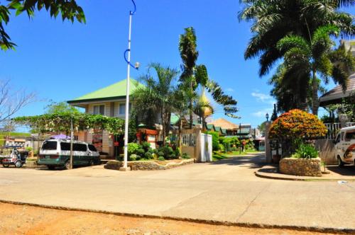 Baker's Hill is a famous hang out place in Palawan, known for their freshly baked goodies like hopia, munchies and crinkles. It is located on top of a...
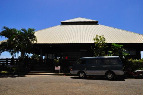 Mitra Ranch, in Sta Monica Heights, is owned by the late Philippine Senator Ramon Mitra. Today it is the residence of Baham Mitra, son and heir of the...
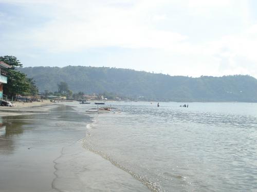 Bart's Beach is located in Olongapo.