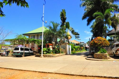
 Baker's Hill is a famous hang out place in Palawan, known for their freshly baked goodies like hopia, munchies and crinkles. It is located on top of a...
Baker's Hill is a famous hang out place in Palawan, known for their freshly baked goodies like hopia, munchies and crinkles. It is located on top of a...
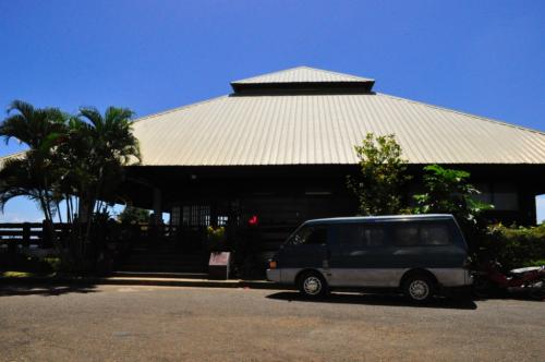 Mitra Ranch, in Sta Monica Heights, is owned by the late Philippine Senator Ramon Mitra. Today it is the residence of Baham Mitra, son and heir of the...
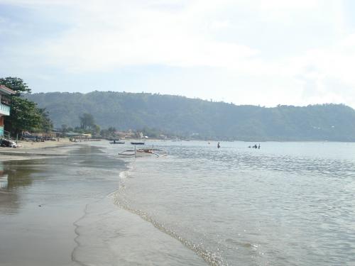 Bart's Beach is located in Olongapo.