It is a 3rd class municipality in the province of Tarlac, Philippines.
According to the latest census, it has a population of 61,644 people in 9,113 households.
The municipality of Bamban is the southernmost gateway of the melting pot province of
Tarlac in the Central Plain of Luzon in the Philippines. The Mount Pinatubo volcanic eruption and the subsequent flow of lava and mud to the lowlands of Bamban forced residents to move out or to stay at the Dapdap Resettlement Area, which is on higher grounds.
Being the southernmost town, it has a common boundary with
Mabalacat,
Pampanga, and in the west, with
Zambales. The boundary is defined by the Parua River, which is a source of irrigation water, food, and sand and gravel for infrastructure projects. The mountainous region situated in the western part comprises almost two-thirds of the total land area, which used to be within the US Military Reservations. Nestled in this part are the BLISS projects and to the north, the MAR settlement project, which when completely developed will be a source of livelihood and food supplies for Central Luzon.
Long before settlers came, the place which was to become the town of Bamban, was a vast track of wild land extending eastward; and on the west side, composed of foothills and mountains lush with vegetation and tall trees extending deep into the Zambales ranges. The thick forest and mountains were then inhabited by the Aetas (locally known as Baluga), and the Sambals, both of whom subsisted only on fishing and native or wild animals which abounded in the place. Occasionally, daring traders from Pampanga and the Tagalog province, mostly enterprising Chinese, braved the wilderness to go northward to Capas and Tarlac.
Source:
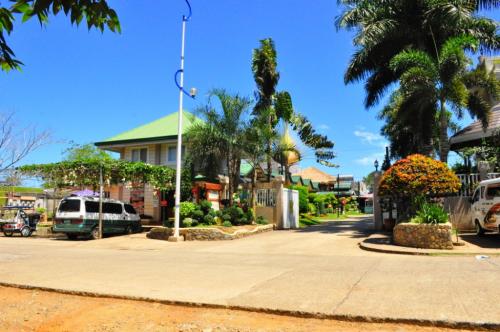 Baker's Hill is a famous hang out place in Palawan, known for their freshly baked goodies like hopia, munchies and crinkles. It is located on top of a...
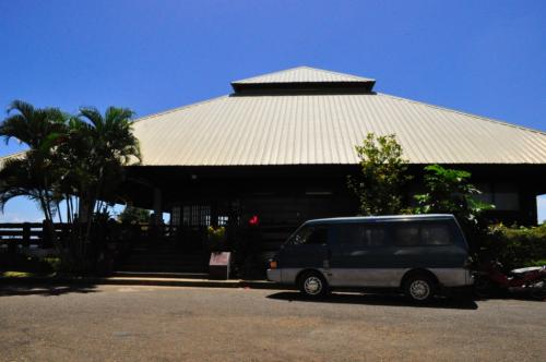 Mitra Ranch, in Sta Monica Heights, is owned by the late Philippine Senator Ramon Mitra. Today it is the residence of Baham Mitra, son and heir of the...
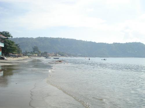 Bart's Beach is located in Olongapo.