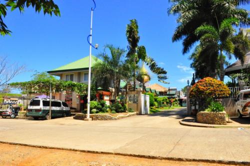
It lies along the coastal region of the province stretching about 60 miles from the northern tip of the island and 180 miles from southern boundaries. Calbayog is comprises 157 barangays and is the largest city in Eastern Visayas. According to the 2007 census, it has a population of 163,657 people in 28,912 households.
History
Calbayog's early history has been associated with the introduction and spread of Catholicism in the country. Calbayog started as one of the small settlements in the Island of Samar, an area assigned to the Jesuit missionaries. Jesuit Chroniclers, as early as the 17th century, notably Fr. Ignacio Alcina, wrote many accounts about it and its people.
Jesuit records and reports referred to the settlement initially as Ibatan and Jibatang (Hibatang). It is in the annual report of 1739 that the name Calbayog appeared in the records for the first time. How Calbayog got its name has not been documented. In the absence of concrete factual accounts, some attempted to explain the origin of the name with the legends.
Some believe that the forerunner of Calbayog was a settlement along the Hibatang River, now called Anislag. Others claim that the forerunner was another settlement, now called San Rufino, located in the hinterlands of Oquendo.
Fr. Felis de Huerta, a 19th century Franciscan writer noted in his work Estado Geografico that in earlier times, Calbayog was called Tiayban for having been founded near a river of the same name. Then it was transferred due to a flood to the shore of the Hibatang River, whose name it took. Then again the settlers transferred to the place that they permanently occupied and took the name Calbayog.
Hibatang had already been a small settlement at the beginning of the 17th century. It slowly occupied a prominent place among the several small settlements. It became a visita (a large barrio with a chapel) of Capul under the jurisdiction of the Parish priest of that town. After the expulsion of the Jesuit Missionaries from the Philippines in the 18th century, the administration of the parishes in Samar was handled over to the Franciscan Friars.
Eventually from being a visita, Calbayog became a pueblo (town). It was created a separate parish in 1785. Separated from the ecclesiastical jurisdiction of the parish priest of Capul, it was later given its own minister.
Calbayog as a town and parish during the Spanish period was composed of several villages, the most populated of which are called visitas. Calbayog became a religious center. Its parish priests cared for the spiritual needs of the people living in what are now Calbayog City, the municipalities of Sta. Margarita, Sto. Niño and Almagro. By the late 19th century a number of visitas became the poblaciones when new towns were created from Calbayog. They were Caybago (later called Oquendo), Sta. Margarita, Weyler (later called Tinambacan) and Sto. Niño.
During the American Era, Calbayog rose to political as well as religious prominence. Prominent political and religious figures in Samar and Leyte emerged from it, particularly those who studied in the Colegio-Seminario de San Vicente de Paul (now Christ the King College and St. Vincent de Paul Seminary) which was established in 1905 and La Milagrosa Academy which was established in 1911. Both schools were run by the religious.
What is noteworthy is the fact that on April 10, 1910, the Diocese of Calbayog was created by virtue of the Papal Bull of Pope Pius X. The diocese comprised the Islands of Samar and Leyte. Calbayog became the seat of the diocese. In 1942, the occupied by the Japanese forces entered in Calbayog city , in 1945, the liberated in Calyabog city by defenders from the Philippine soldiers and guerillas against the Japanese forces in World War II, It was only much later that the other dioceses in the region were created. Republic Act No. 328, otherwise known as the Charter of the City of Calbayog was signed into law on July 15, 1948 by then President Elpidio Quirino. Calbayog as a city with its first set of city officials was inaugurated on October 16, 1948. The city comprises the territorial jurisdiction of the former Municipalities of Calbayog, Oquendo and Tinambacan.
Geography
Land Area
The city has a total land area of 90,300 hectares which is .301% of the archipelago's total land area, 4.21% of the regional land area, 6.724% of the island of Samar, and 16.10% of the Samar province area.
Hydrology
Forty percent of the city's land area are plain and hilly terrains with elevation ranging from 5 to 20 meters above sea level. The rest are rugged mountain ranges with elevations from 300 to 700 meters above sea level located beyond 21 km. Northeast of the city proper.
Flooding is minimized because of many rivers, brooks, streams and natural water conveyors that flow towards the sea.
Climate
Calbayog experiences a variety of wind types. These are Amihan (northwind), Timog (southwind), Habagat (westwind), Canaway (northwest wind), Cabunghan (northeast wind), Dumagsa (southeast wind), and Salatan (southwest wind).
Rainfall Intensity
Calbayog has well distributed rainfall throughout the year, except during the summer months of February through May, when most parts of the city are dry. The highest rainfall intensity recorded is 267 mm/hr. Heavy downpour is seldom experienced in the locality, therefore making Calbayog potentially appropriate for protective agricultural investment.
Typhoon Frequency
The city belongs to the fourth type of climate which is evenly distributed throughout the year. It has a typhoon frequency of 19%, though only 5% out of the 300 typhoons that hit the region in a span of six decades was destructive.
Source: