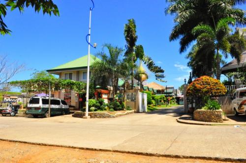
The name Iligan is from the Higaunon word "iligan" or "ilijan," meaning "fortress of defense" against frequent attacks by pirates and other hostile Mindanao tribes.
There are lots to see in Iligan City. Waterfalls, industries, mountains, and the food and fruits are always abundant there. Check out the hotels/resorts in the city where you can stay while on business or vacation there.
Geography
Iligan City is bounded on the north by the municipalities of Lugait, Manticao, Opol, and Cagayan de Oro City in Misamis Oriental, to the south by the municipalities of Baloi, Linamon and Tagoloan of Lanao del Norte, to the east by the territories of Lanao del Sur and Bukidnon, and to the west by Iligan Bay. This is also the 2nd largest city in Northern Mindanao next to Malaybalay City.
Known as the City of Majestic Waterfalls, there are around 20 waterfalls in and around Iligan. Among them is the magnificent Maria Cristina Falls, home of Mindanao's primary hydroelectric power station, and Limunsudan Falls.
Iligan is also the Industrial Center of the South. It produces hydroelectric power for the Mindanao region through the National Power Corporation (NAPOCOR), the site of the Mindanao Regional Center (MRC) housing Agus IV, VI and VII hydroelectric plants. It also houses industries like steel, tinplate, cement and flourmills. The National Steel Corporation, one of the largest steel manufacturers in the Southeast Asian region, now Global Steelworks International Incorporated was re-opened in 2003 after heavy setbacks resulting to its closure in 1999. Iligan along with it's neighboring city, Cagayan de Oro City, are the two major components for the Cagayan de Oro-Iligan Corridor, the fastest developing area in Northern Mindanao.
To the west, Iligan Bay provides ferry and container ship transportation. East of the city, flat cultivated coastal land gives way to steep volcanic hills and mountains providing the waterfalls and cold springs for which the area is well known.
Climate
Iligan falls within the third type of climate wherein the seasons are not very pronounced. Rain is more or less evenly distributed throughout the year. Because of its tropical location the city does not experience cold weather. Neither does it experience strong weather disturbances due to its geographical location (being outside the typhoon belt).
Transportation
Sea
There are five shipping lines serving Manila, Cebu City and Ozamiz City routes namely: Superferry, Cebu Ferries, Carlos A. Gothong Lines, Negros Navigation, Sulpicio Lines, and Cokaliong Shipping Lines.
Land
Rural Transit (RTMI) and Super 5 Transport are the dominant public land transportation in this City. The Integrated Bus and Jeepney Terminal (IBJT) caters trips to and from Cagayan de Oro City and various parts of Misamis Oriental, while the Southbound Bus and Jeepney Terminal caters trips to and from Dipolog City, Pagadian City, Ozamiz City, various parts of Lanao del Norte and Marawi City. The public mode of transportation withinin this city is by Jeepneys and Pedicabs. There is also the famous "Tartanillas" (calesas) that is also a public mode of transportation which serves through Barangay Pala-o and Barangay Tambacan. Passenger vans are also available for the various municipalities in Lanao del Norte and Lanao del Sur.
Source: