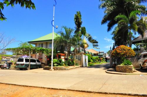
Agusan del Sur is a promising paradise found in the northeastern part of Mindanao. It is the land of the proud and brave Agusanons, a land of multi-ethnic and cultural diversity. It is hidden in the vastness of 896,550 hectares of endless green carpets and undulating forest cover which envelope its half a million people with fresh mountain air. The long winding Agusan River passes through the middle valley of Agusan del Sur.
Geography
Agusan del Sur lies along the Maharlika Highway that links the three major island groups of the country. It has a land area of 896,550 hectares, with a flat and rolling topography suitable for agriculture, industry, and forestry. It takes the shape of an elongated basin with mountain ranges in the eastern and western sides, which form a valley occupying the central longitudinal section of the land. The Agusan River, which is among the many rivers that crisscross the province, cuts it into two along a north-south direction, fertilizing the land all year round. The southern part teems with swamps and lakes, forming one of the largest wetlands in Southern Asia.
Political Subdivision
Agusan del Sur occupies a portion of the Northern Mindanao Region bounded on the north by Agusan del Norte, on the east by Surigao del Sur, on the south by Davao del Norte, and on the west by Misamis Oriental and Bukidnon. The province has one congressional district, which is composed of 14 municipalities and 314 barangays. Its capital town is Prosperidad, also the seat of the provincial government.
Language/Dialect
Cebuano, Boholano, Ilonggo, English, Filipino, and Visayan.
Climate
The climate is pleasant, with no dry season but a very pronounced rainy period usually occuring in December to January. Monthly rainfall is 302 mm. while the average temperature is 27 degrees Celsius.
Â
Â