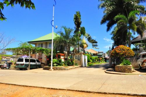
 Baker's Hill is a famous hang out place in Palawan, known for their freshly baked goodies like hopia, munchies and crinkles. It is located on top of a...
Geography
Carcar is located approximately 40 km south of Cebu City. It is bounded on the north by San Fernando; on the south by Sibonga; on the west by Barili and Aloguinsan; and on the east by the Bohol Strait. It has a land area of approximately 116.22 km².
The land is generally level with less than 18% slope composing of 78.7% of the total land area. Areas with slopes ranging from 18 to 50% cover 19.3% of the total land area and those over 50% slope comprise approximately 1.9%. The highest recorded elevation is a little over 660 meters above sea level, located within the barangay of Napo.
The wet season occurs during the months of May to October and the dry season, from January to May.
Tourist Trail
The Heritage City of Cebu, Carcar is home to various Spanish to American Period structures. The Carcar plaza alone hosts several Heritage structures, the Church of St. Catherine of Alexandria dominates the area. Within the complex various structures stand. Walking towards Sta. Catalina street one will surely be astonished with the quaint houses and their distinctive architectural details.
A visit to Carcar wouldn't be complete without sampling it's mouth-watering delights. Surrounding the Rotunda and in the public market one will find the famous Carcar chicharon, lechon, ampao, bucarillo, gogorias and puso are just some delectable delicacies worth tasting.
Carcar Delicacy: Bucarillo
Carcar Delicacy: Bucarillo
Barangays
Carcar is politically subdivided into 15 barangays.
* Bolinawan
* Buenavista
* Calidngan
* Can-asujan
* Guadalupe
* Liburon
* Napo
* Ocana
* Perrelos
* Poblacion I
* Poblacion II
* Poblacion III
* Tuyom
* Valencia
* Valladolid
Source:
Baker's Hill is a famous hang out place in Palawan, known for their freshly baked goodies like hopia, munchies and crinkles. It is located on top of a...
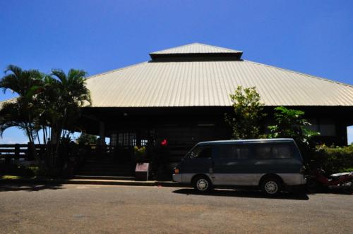 Mitra Ranch, in Sta Monica Heights, is owned by the late Philippine Senator Ramon Mitra. Today it is the residence of Baham Mitra, son and heir of the...
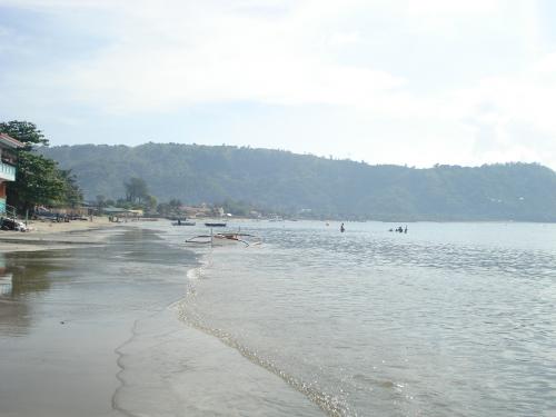 Bart's Beach is located in Olongapo.