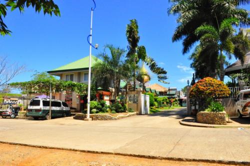
 Baker's Hill is a famous hang out place in Palawan, known for their freshly baked goodies like hopia, munchies and crinkles. It is located on top of a...
GEOGRAPHY
Zamboanga del Norte is situated in Northern Mindanao. It is bounded on the north and west by the Sulu Sea, on the east by Misamis Occidental, and on the south by Zamboanga del Sur.
The province occupies a total land area of 6,618 square kilometers. It has an average elevation of 243.8 meters, with Mt. Dabiak in Katipunan as the highest peak at 2,600 meters. Other parts, near the coastlines, are plains. The province’s irregular coastline runs 400 kilometers from north to south.
POLITICAL SUBDIVISIONS
The province has 25 towns, which are clustered into three districts.
CLIMATE
Zamboanga del Norte has a mild and moderate climate due to evenly distributed rainfall throughout the year. Its southern portion has a longer dry season.
LANGUAGES/DIALECTS
The main dialect is Cebuano/Visayan. English and Filipino (Tagalog) are also spoken, indicative of a high level of literacy. The original and native Subanen dialect lives on, especially in the highlands.
POPULATION
As of 1995’s census count, the province of Zamboanga del Norte had a total population of 616,923, the second largest in the region, after Zamboanga del Sur.
Â
MAJOR INDUSTRIES
About half of the province’s land area is devoted to agriculture. Corn, coconut, and rice are major crops. The province being rich in marine and mineral sources, its fish production has accelerated through the development of fishponds. Commercial fishing has likewise steadily increased through the years, with the yellow fin tuna as the primary species.
Â
Source:
Baker's Hill is a famous hang out place in Palawan, known for their freshly baked goodies like hopia, munchies and crinkles. It is located on top of a...
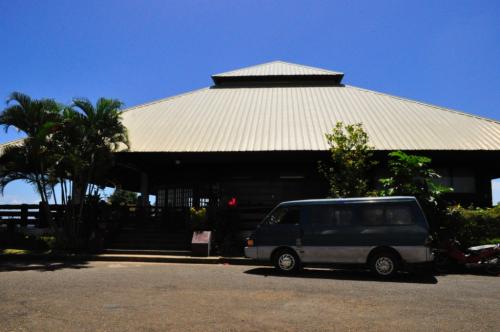 Mitra Ranch, in Sta Monica Heights, is owned by the late Philippine Senator Ramon Mitra. Today it is the residence of Baham Mitra, son and heir of the...
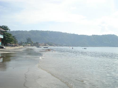 Bart's Beach is located in Olongapo.