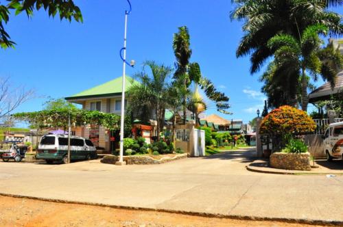
Covering the Municipalities of Atimonan, Pagbilao and Padre Burgos
Quezon National Park has an area of about 983 hectares. It has an intricate system of caves, water falls, springs, creeks, gorges, and ravines against a quaint backdrop of lush greenery. Local folks say that the park is full of living creatures from butterflies to birds and monkeys. If one is lucky, he can even see monkeys tagging along their youngs whild crossing the street. Trees are so tall and huge that the zigzag road is ever relatively dark. The park is also the site for Pinagbanderahan (it can be reached by walking for about one hour from the road to the top of a ridge), a place where the Filipino Revolutionaries planted the Philippine flag in their fight against the Spanish colonizers.
Since the place is a national park that was established as picnic grounds for local tourists, the place is convenient to hike all year round. The park entrance is located along Maharlika Highway along the Lucena-Atimonan route. You can go to Lucena and ride buses bound for the southern most towns of Quezon as well as those bound for Bicol. The Maharlika Highway crosses the park. Take the old zigzag road locally called the 3M ( tatlong eme ) or bituka ng manok (chicken's intestine) and alight at the picnic grounds at the middle of the park. The trek to the summit is around 2 hours of stair climbing.
How to get there
The place is accessible by land transportation from Manila. After the town of Pagbilao, take the road which leads to the town of Atimonan.
Source:
Photo credit: